Project context
The planned work and the question being investigated help define where GPR can add useful information.

Ground Penetrating Radar
Ground Penetrating Radar adds another layer of subsurface information when site conditions and the project make it an appropriate locating method.
How GPR works
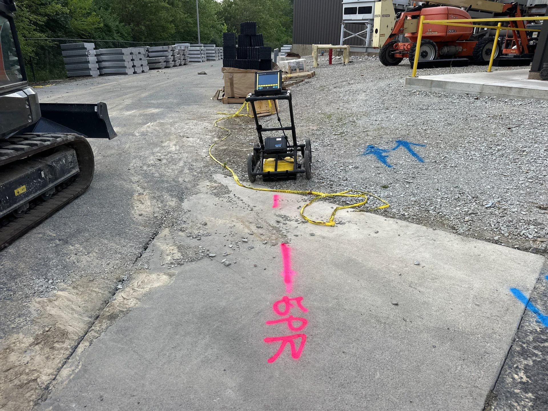
GPR sends a radar signal into the ground and records reflections created by changes below the surface. An operator interprets those responses in the context of the site and project area.
The method can add useful subsurface information when another locating approach alone does not answer the project's questions.
The planned work and the question being investigated help define where GPR can add useful information.
Ground material, moisture, surface access, and nearby features can influence data collection and interpretation.
GPR can work alongside other locating approaches while keeping the full site and project in view.
A focused investigation
Share the property, work area, surface conditions, and planned work. Our team will review how GPR fits the request and how it relates to other locating services.
Findings should always be understood alongside the conditions and limitations of the specific site.
Add another layer
Share the surface conditions, work area, and subsurface question with our team.